
Ficheiro:Karte Zürichsee.png
Dimensões desta antevisão: 720 × 599 píxeis. Outras resoluções: 288 × 240 píxeis | 577 × 480 píxeis | 923 × 768 píxeis | 1 181 × 983 píxeis.
Imagem numa resolução maior (1 181 × 983 píxeis, tamanho: 232 kB, tipo MIME: image/png)
|
|
Esta imagem provém do Wikimedia Commons, um acervo de conteúdo livre da Wikimedia Foundation que pode ser utilizado por outros projetos.
|
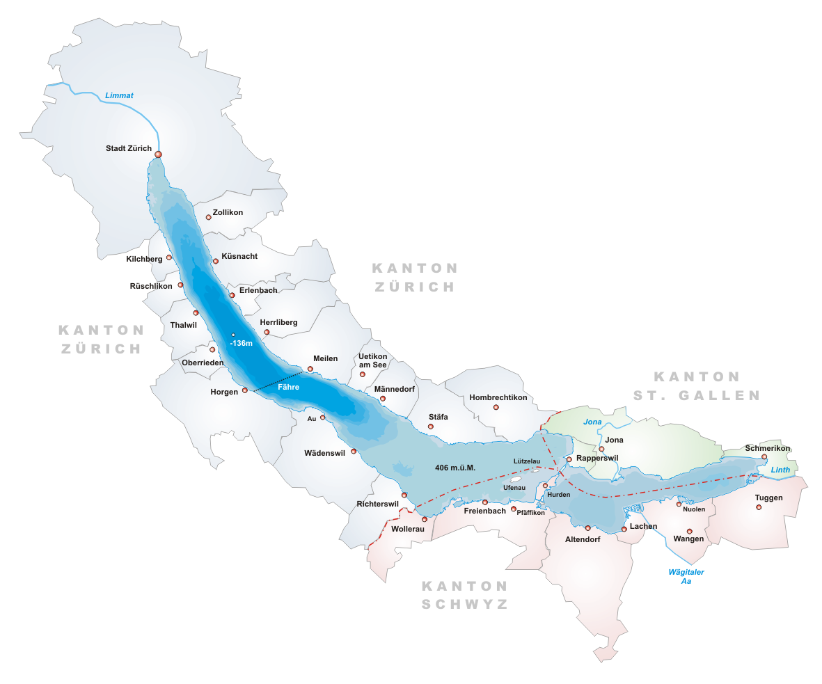
- Description: Map of Zürichsee, Switzerland
- Designer: Tschubby
- Licence:

|
É concedida permissão para copiar, distribuir e/ou modificar este documento nos termos da Licença de Documentação Livre GNU, versão 1.2 ou qualquer versão posterior publicada pela Free Software Foundation; sem Secções Invariantes, sem textos de Capa e sem textos de Contra-Capa. É incluída uma cópia da licença na secção intitulada GNU Free Documentation License. |
| A utilização deste ficheiro é regulada nos termos da licença Creative Commons - Atribuição-CompartilhaIgual 3.0 Não Adaptada. | ||
| ||
| Esta marca de licenciamento foi adicionada a este ficheiro durante a atualização da licença GFDL. |
Histórico do ficheiro
Clique uma data e hora para ver o ficheiro tal como ele se encontrava nessa altura.
| Data e hora | Miniatura | Dimensões | Utilizador | Comentário | |
|---|---|---|---|---|---|
| atual | 18h14min de 22 de junho de 2005 | | 1 181 × 983 (232 kB) | Tschubby | *Description: Map of Zürichsee, Switzerland *Designer: Tschubby *Licence: {{GFDL}} Category:Maps of Swiss lakes |
Utilização local do ficheiro
A seguinte página usa este ficheiro:
Utilização global do ficheiro
As seguintes wikis usam este ficheiro:
- ar.wikipedia.org
- arz.wikipedia.org
- ast.wikipedia.org
- be.wikipedia.org
- bs.wikipedia.org
- ca.wikipedia.org
- ceb.wikipedia.org
- cs.wikipedia.org
- de.wikipedia.org
- en.wikipedia.org
- Lake Zurich
- Canton of Schwyz
- Limmat
- Linth
- Canton of Zürich
- Erlenbach, Switzerland
- Rapperswil-Jona
- Männedorf
- Meilen
- Canton of St. Gallen
- Schmerikon
- Uerikon
- Kehlhof
- Stäfa
- Uetikon am See
- Herrliberg
- Küsnacht
- Feldbach, Switzerland
- Lachen, Switzerland
- Horgen
- Thalwil
- Zürcher Verkehrsverbund
- S7 (ZVV)
- Kilchberg, Zürich
- Pfäffikon, Schwyz
- Albis
- Uetliberg
- Sihl
- Rüschlikon
- March District
- Zürichberg
- Horgen District
- Oberrieden
- Freienbach
- Altendorf, Schwyz
- Höfe District
- See-Gaster
- Richterswil
Ver mais utilizações globais deste ficheiro.