
Ficheiro:Oude Tonge 1866.png

Imagem numa resolução maior (1 600 × 1 366 píxeis, tamanho: 220 kB, tipo MIME: image/png)
|
|
Esta imagem provém do Wikimedia Commons, um acervo de conteúdo livre da Wikimedia Foundation que pode ser utilizado por outros projetos.
|
Descrição do ficheiro
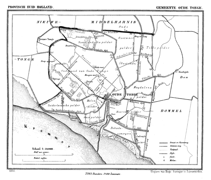
| Descrição | Historic map of Oude Tonge (now part of municipality Oostflakkee), South Holland, the Netherlands |
| Data | entre 1865 e 1870 |
| Origem | Gemeente Atlas van Nederland (Municipal Atlas of the Netherlands) |
| Autor | J. Kuyper |
Licenciamento
|
Esta obra está no domínio público no seu país de origem e noutros países e áreas onde o período de proteção dos direitos de autor é igual ou inferior à vida do autor mais 70 anos.
| |
| Este ficheiro foi considerado livre de restrições conhecidas devidas a direitos de autor, incluindo todos os direitos conexos. | |
Histórico do ficheiro
Clique uma data e hora para ver o ficheiro tal como ele se encontrava nessa altura.
| Data e hora | Miniatura | Dimensões | Utilizador | Comentário | |
|---|---|---|---|---|---|
| atual | 14h23min de 23 de maio de 2007 | | 1 600 × 1 366 (220 kB) | P199 | {{Information |Description=Historic map of Oude Tonge (now part of municipality Oostflakkee), South Holland, the Netherlands |Source=Gemeente Atlas van Nederland (Municipal Atlas of the Netherlands) |Date=1865-1870 |Author=J. Kuyper |Permission= |other_ve |
Utilização local do ficheiro
A seguinte página usa este ficheiro:
Utilização global do ficheiro
As seguintes wikis usam este ficheiro:
- en.wikipedia.org
- id.wikipedia.org
- vi.wikipedia.org
- zh.wikipedia.org