
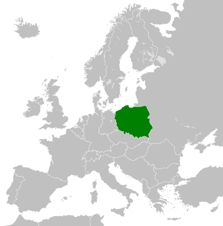
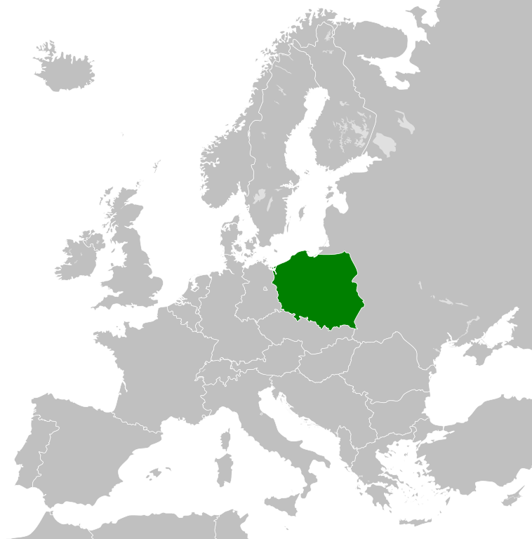
Ficheiro:Poland 1956-1990.svg

Dimensões desta antevisão em PNG do ficheiro SVG: 450 × 456 píxeis Outras resoluções: 237 × 240 píxeis | 474 × 480 píxeis | 758 × 768 píxeis | 1 011 × 1 024 píxeis | 2 021 × 2 048 píxeis.
Imagem numa resolução maior (ficheiro SVG, de 450 × 456 píxeis, tamanho: 474 kB)
|
|
Esta imagem provém do Wikimedia Commons, um acervo de conteúdo livre da Wikimedia Foundation que pode ser utilizado por outros projetos.
|
Descrição do ficheiro


.svg)
.svg)
.svg)
.svg)
.svg)


.svg)
.svg)
.svg)


.png)
.png)


.svg)


.svg)

.svg)


.svg)
.svg)
.svg)
.svg)


.svg)
.png)


.svg)


.svg)
.svg)


.svg)


.svg)


.svg)
.svg)
.svg)
.svg)
.svg)
.svg)
.svg)
_cropped.svg)
.svg)
.svg)
.svg)
.svg)
.svg)
.svg)
.svg)
.svg)
.svg)
.svg)
.svg)
.svg)
.svg)
.svg)
.svg)
.svg)
.svg)
.svg)
.svg)
.svg)
.svg)
.svg)
.svg)
.svg)
.svg)
.svg)
.svg)
.svg)
.svg)
.svg)
.svg)
.svg)
.svg)
.svg)
.svg)
.svg)
.svg)
.svg)
.svg)
.svg)
.svg)
.svg)
.svg)
.svg)
.svg)
| Esta é uma imagem retocada, o que significa que a versão original foi alterada digitalmente. O original pode ser visto aqui: Blank map of Europe 1956-1990.svg:
|
Licenciamento
Eu, titular dos direitos de autor desta obra, publico-a com a seguinte licença:
A utilização deste ficheiro é regulada nos termos da licença Creative Commons - Atribuição-CompartilhaIgual 3.0 Não Adaptada.
- Pode:
- partilhar – copiar, distribuir e transmitir a obra
- recombinar – criar obras derivadas
- De acordo com as seguintes condições:
- atribuição – Tem de fazer a devida atribuição da autoria, fornecer uma hiperligação para a licença e indicar se foram feitas alterações. Pode fazê-lo de qualquer forma razoável, mas não de forma a sugerir que o licenciador o apoia ou subscreve o seu uso da obra.
- partilha nos termos da mesma licença – Se remisturar, transformar ou ampliar o conteúdo, tem de distribuir as suas contribuições com a mesma licença ou uma licença compatível com a original.
Registo de carregamento original
This image is a derivative work of the following images:
- File:Blank_map_of_Europe_1956-1990.svg licensed with Cc-by-sa-3.0
- 2011-10-30T04:43:42Z Alphathon 450x456 (485146 Bytes) == {{int:filedesc}} == {{Information |Description={{en|Blank map of Europe showing national borders as they stood from 1956-1990.}} |Source=*[[:File:Blank_map_of_Europe.svg|]] |Date=2011-10-30 04:42 (UTC) |Author=*[[:File:Bla
Carregada com derivativeFX
Histórico do ficheiro
Clique uma data e hora para ver o ficheiro tal como ele se encontrava nessa altura.
| Data e hora | Miniatura | Dimensões | Utilizador | Comentário | |
|---|---|---|---|---|---|
| atual | 00h23min de 26 de novembro de 2011 | | 450 × 456 (474 kB) | StalwartUK | == {{int:filedesc}} == {{Information |Description={{en|Map of the People's Republic of Poland as it was from 1945-1990. Surrounding countries accurate from 1956-1990.}} |Source=*[[:File:Blank_map_of_Europe_1956-1990.svg |
Utilização local do ficheiro
A seguinte página usa este ficheiro:
Utilização global do ficheiro
As seguintes wikis usam este ficheiro:
- an.wikipedia.org
- ar.wikipedia.org
- az.wikipedia.org
- ca.wikipedia.org
- cs.wikipedia.org
- de.wikipedia.org
- el.wikipedia.org
- en.wikipedia.org
- en.wiktionary.org
- eo.wikipedia.org
- es.wikipedia.org
- et.wikipedia.org
- eu.wikipedia.org
- fa.wikipedia.org
- fi.wikipedia.org
- fr.wikipedia.org
- gl.wikipedia.org
- he.wikipedia.org
- hi.wikipedia.org
- hu.wikipedia.org
- hy.wikipedia.org
- id.wikipedia.org
- it.wikipedia.org
- ja.wikipedia.org
- kk.wikipedia.org
- ko.wikipedia.org
- lt.wikipedia.org
- lv.wikipedia.org
- mk.wikipedia.org
- ms.wikipedia.org
- nl.wikipedia.org
- pl.wikipedia.org
- Rzeczpospolita Polska
- Polska Rzeczpospolita Ludowa
- Wikipedysta:KrakovHD/brudnopis
- Wikipedysta:OlafMaj1/brudnopi4
- Wikipedysta:TheTNT1500/Lista państw komunistycznych
- Wikipedysta:Malarz pl/szablony/Państwo infobox/4
- Wikipedysta:Malarz pl/szablony/Państwo infobox
- Wikipedysta:Malarz pl/szablony/Państwo infobox/26
- pnb.wikipedia.org
- ro.wikipedia.org
- rue.wikipedia.org
Ver mais utilizações globais deste ficheiro.