
Ficheiro:Millennium Island, Kiribati.jpg
Imagem numa resolução maior (2 832 × 4 256 píxeis, tamanho: 6,48 MB, tipo MIME: image/jpeg)
|
|
Esta imagem provém do Wikimedia Commons, um acervo de conteúdo livre da Wikimedia Foundation que pode ser utilizado por outros projetos.
|
Descrição do ficheiro
| Descrição |
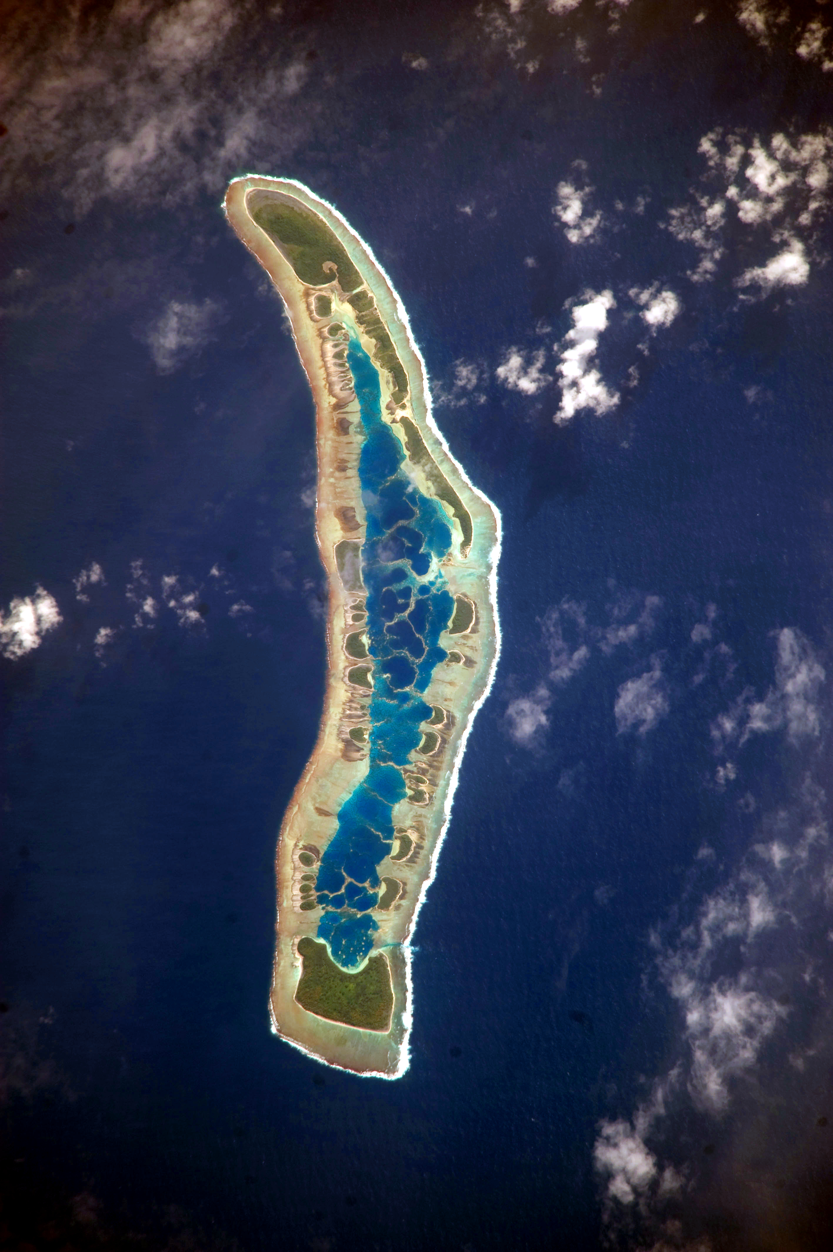
English: The islets of Millennium Island are readily visible in this astronaut photograph as irregular green vegetated areas surrounding the inner lagoon. The shallow lagoon waters are a lighter blue than the deeper surrounding ocean water; tan linear “fingers” within the lagoon are the tops of corals. The two largest islets are Nake Islet and South Islet, located at the north and south ends of Millennium Island respectively.
Français : Vue satellite de l'île du Millénaire dans les Kiribati, où l'on peut distinguer ses différents îlots, son lagon intérieur où des couleurs plus claires indiquent une profondeur plus faible ainsi que sa végétation dense sur certains îlots.
|
||||||||||||||||||||||||||||||||||||||||||||||||||||||
| Data | |||||||||||||||||||||||||||||||||||||||||||||||||||||||
| Origem | NASA Earth Observatory | ||||||||||||||||||||||||||||||||||||||||||||||||||||||
| Autor | Image taken by the NASA Expedition 20 crew | ||||||||||||||||||||||||||||||||||||||||||||||||||||||
| Localização da câmara | | Esta e outras imagens nas suas localizações em: OpenStreetMap |
|---|
Este(a) imagem ou vídeo foi catalogado(a) por Centro Espacial Johnson dos Estados Unidos da América para a Administração Nacional da Aeronáutica e do Espaço (NASA), sobre o código ID: ISS020-E-16279. Esta marcação não indica o estado dos direitos de autor da obra aqui mostrada. Continua a ser necessária uma marcação normal de direitos de autor. Veja Commons:Licenciamento para mais informações. Outras línguas:
|
This image was acquired with a Nikon D3 digital camera fitted with an 800 mm lens, and is provided by the ISS Crew Earth Observations experiment and Image Science & Analysis Laboratory, Johnson Space Center. Instrument: ISS - Digital Camera
Licenciamento
| Este ficheiro está no domínio público nos Estados Unidos porque foi criado exclusivamente pela NASA. As orientações sobre o direito de autor da NASA são que «as obras da NASA não têm os direitos de autor protegidos salvo indicação em contrário». Veja Template:PD-USGov, as orientações sobre o direito de autor da NASA ou as normas de uso de imagens do Laboratório de Propulsão a Jato (Jet Propulsion Lab, JPL). | ||
 |
Avisos:
|
Histórico do ficheiro
Clique uma data e hora para ver o ficheiro tal como ele se encontrava nessa altura.
| Data e hora | Miniatura | Dimensões | Utilizador | Comentário | |
|---|---|---|---|---|---|
| atual | 12h04min de 13 de junho de 2017 | | 2 832 × 4 256 (6,48 MB) | SteinsplitterBot | Bot: Image rotated by 90° |
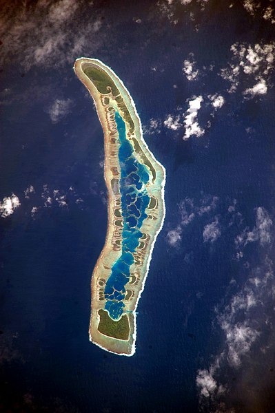
| 09h34min de 5 de outubro de 2010 |  | 4 256 × 2 832 (6,47 MB) | Originalwana | higher res | |
| 09h56min de 13 de julho de 2009 |  | 1 000 × 624 (486 kB) | Originalwana | {{Information |Description={{en|1=The islets of Millennium Island are readily visible in this astronaut photograph as irregular green vegetated areas surrounding the inner lagoon. The shallow lagoon waters are a lighter blue than the deeper surrounding oc |
Utilização local do ficheiro
A seguinte página usa este ficheiro:
Utilização global do ficheiro
As seguintes wikis usam este ficheiro:
- ar.wikipedia.org
- be.wikipedia.org
- ca.wikipedia.org
- en.wikipedia.org
- et.wikipedia.org
- fr.wikipedia.org
- hr.wikipedia.org
- id.wikipedia.org
- pl.wikipedia.org
- ru.wikipedia.org
- th.wikipedia.org
- tr.wikipedia.org
- vi.wikipedia.org