
Ficheiro:Berkshire UK location map.svg

Dimensões desta antevisão em PNG do ficheiro SVG: 800 × 416 píxeis Outras resoluções: 320 × 166 píxeis | 640 × 333 píxeis | 1 024 × 532 píxeis | 1 280 × 666 píxeis | 2 560 × 1 331 píxeis | 1 425 × 741 píxeis.
Imagem numa resolução maior (ficheiro SVG, de 1 425 × 741 píxeis, tamanho: 1,51 MB)
|
|
Esta imagem provém do Wikimedia Commons, um acervo de conteúdo livre da Wikimedia Foundation que pode ser utilizado por outros projetos.
|
| Descrição |
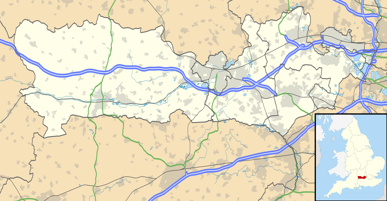
Map of Berkshire, UK with the following information shown:
Equirectangular map projection on WGS 84 datum, with N/S stretched 160% Geographic limits:
|
| Data | |
| Origem |
|
| Autor | Nilfanion, created using Ordnance Survey data |
| Permissão (Reutilizar este ficheiro) |
A utilização deste ficheiro é regulada nos termos da licença Creative Commons - Atribuição-CompartilhaIgual 3.0 Não Adaptada. Atribuição: Contains Ordnance Survey data © Crown copyright and database right
|
| Outras versões | File:Berkshire UK district map (blank).svg - Blank map |
.svg)
Histórico do ficheiro
Clique uma data e hora para ver o ficheiro tal como ele se encontrava nessa altura.
| Data e hora | Miniatura | Dimensões | Utilizador | Comentário | |
|---|---|---|---|---|---|
| atual | 17h56min de 26 de setembro de 2010 | | 1 425 × 741 (1,51 MB) | Nilfanion | {{Information |Description=Map of Berkshire, UK with the following information shown: *Administrative borders *Coastline, lakes and rivers *Roads and railways *Urban areas Equirectangular map projection on WGS 84 datum, with N/S stretched |
Utilização local do ficheiro
A seguinte página usa este ficheiro:
Utilização global do ficheiro
As seguintes wikis usam este ficheiro:
- ar.wikipedia.org
- azb.wikipedia.org
- bg.wikipedia.org
- bn.wikipedia.org
- ceb.wikipedia.org
- en.wikipedia.org
- Slough
- Newbury, Berkshire
- Britwell
- Chalvey
- Colnbrook
- Langley, Berkshire
- Upton, Slough
- Speen, Berkshire
- Maidenhead
- Sandhurst, Berkshire
- Bracknell
- Wraysbury
- Datchet
- Hungerford
- Windsor, Berkshire
- Caversham, Reading
- Frogmore
- Eton, Berkshire
- Ditton, Slough
- Horton, Berkshire
- Sunningdale
- Earley
- Hurley, Berkshire
Ver mais utilizações globais deste ficheiro.