
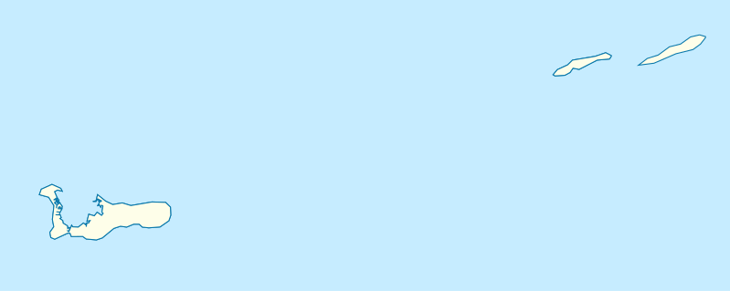
Ficheiro:Cayman Islands location map.svg

Dimensões desta antevisão em PNG do ficheiro SVG: 799 × 319 píxeis Outras resoluções: 320 × 128 píxeis | 640 × 256 píxeis | 1 024 × 409 píxeis | 1 280 × 511 píxeis | 2 560 × 1 022 píxeis | 924 × 369 píxeis.
Imagem numa resolução maior (ficheiro SVG, de 924 × 369 píxeis, tamanho: 33 kB)
|
|
Esta imagem provém do Wikimedia Commons, um acervo de conteúdo livre da Wikimedia Foundation que pode ser utilizado por outros projetos.
|
| Descrição |
Deutsch: Positionskarte der Kaimaninseln. Geographische Begrenzungen der Karte:
English: Location map of the Cayman Islands. Geographic limits of the map:
|
| Data | |
| Origem | Obra do próprio, using OpenStreetMap Data for the coastlines |
| Autor |
Graphic made by Carport |
Licenciamento
A utilização deste ficheiro é regulada nos termos da licença Creative Commons - Atribuição-CompartilhaIgual 2.0 Genérica.
- Pode:
- partilhar – copiar, distribuir e transmitir a obra
- recombinar – criar obras derivadas
- De acordo com as seguintes condições:
- atribuição – Tem de fazer a devida atribuição da autoria, fornecer uma hiperligação para a licença e indicar se foram feitas alterações. Pode fazê-lo de qualquer forma razoável, mas não de forma a sugerir que o licenciador o apoia ou subscreve o seu uso da obra.
- partilha nos termos da mesma licença – Se remisturar, transformar ou ampliar o conteúdo, tem de distribuir as suas contribuições com a mesma licença ou uma licença compatível com a original.
Histórico do ficheiro
Clique uma data e hora para ver o ficheiro tal como ele se encontrava nessa altura.
| Data e hora | Miniatura | Dimensões | Utilizador | Comentário | |
|---|---|---|---|---|---|
| atual | 17h07min de 23 de novembro de 2009 | 924 × 369 (33 kB) | Carport | {{Information |Description={{de|1=Positionskarte der {{w|Kaimaninseln|3=de}}. Geographische Begrenzungen der Karte: * N: 19.84° N * S: 19.14° N * W: 81.52° W * E: 79.66° W}} {{en|1=Location map of the {{w|Cayman Islands}}. Geographic limits of the ma |
Utilização local do ficheiro
As seguintes 3 páginas usam este ficheiro:
Utilização global do ficheiro
As seguintes wikis usam este ficheiro:
- af.wikipedia.org
- an.wikipedia.org
- ar.wikipedia.org
- ast.wikipedia.org
- ba.wikipedia.org
- be.wikipedia.org
- bg.wikipedia.org
- ceb.wikipedia.org
- Plantilya:Location map United Kingdom Cayman Islands
- Welch Point
- South Channel
- Palmetto Point
- The Narrows
- Crawl Bay
- Sandy Point
- East Point
- West Bay
- Long Point
- Low Point
- South West Point
- George Town
- Charles Bay
- West End Point
- West End
- Water Cay
- Southwest Point
- Gun Bluff
- Cedar Point
- The Bight
- North Side
- East End
- Eden Rocks
- Prospect Point
- Stake Bay
- Little Sound
- Main Channel
- Rum Point
- Sand Cay
- East Channel
- North Reef
- Boatswain Point
- Beach Point
- Owen Island
Ver mais utilizações globais deste ficheiro.