
Ficheiro:Mediterranean Sea political map-blank.svg

Dimensões desta antevisão em PNG do ficheiro SVG: 800 × 585 píxeis Outras resoluções: 320 × 234 píxeis | 640 × 468 píxeis | 1 024 × 749 píxeis | 1 280 × 936 píxeis | 2 560 × 1 872 píxeis | 2 046 × 1 496 píxeis.
Imagem numa resolução maior (ficheiro SVG, de 2 046 × 1 496 píxeis, tamanho: 1,06 MB)
|
|
Esta imagem provém do Wikimedia Commons, um acervo de conteúdo livre da Wikimedia Foundation que pode ser utilizado por outros projetos.
|
Descrição do ficheiro
| Descrição |
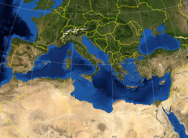
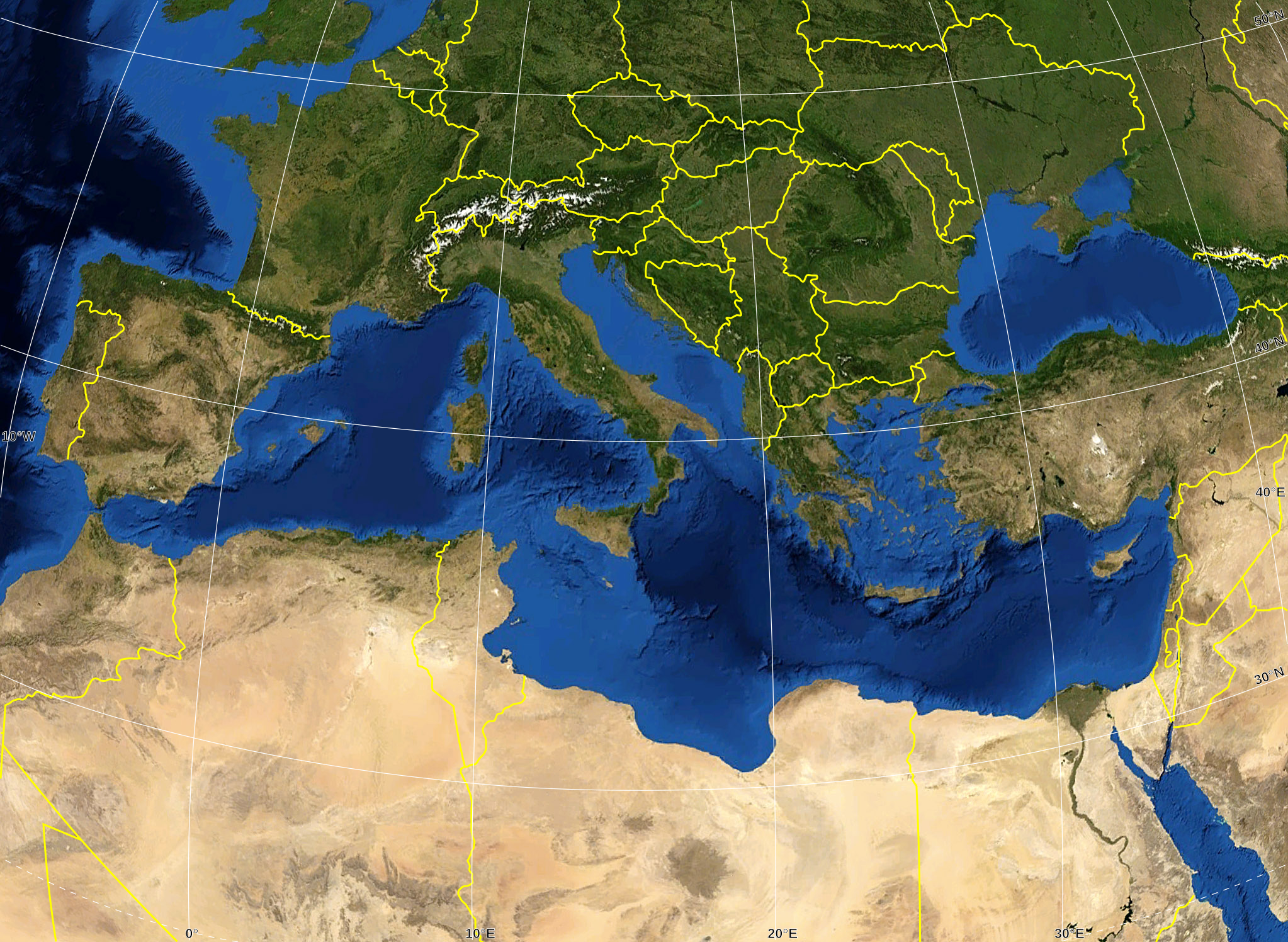
English: Blank map of the Mediterranean Sea, with the State borders.
Français : Carte vierge de la Mer Méditerranée avec les frontières nationales. |
| Data | |
| Origem |
Own work ; Raster background map : screenshot from NASA World Wind (Public Domain) |
| Autor | Eric Gaba (Sting - fr:Sting) |
| Permissão (Reutilizar este ficheiro) |
All rights released |
| Outras versões |
Obras derivadas deste ficheiro: Delian League Campaign Map.png
|


Licenciamento
| This image is in the public domain because it is a screenshot from NASA’s globe software World Wind using a public domain layer, such as Blue Marble, MODIS, Landsat, SRTM, USGS or GLOBE.
|
 |
| This work was previously under Public Domain, or a Free License. It has been digitally enhanced and/or modified. This derivative work has been (or is hereby) released into the public domain by its author, Sting at the French Wikipedia project. This applies worldwide. In some countries this is not legally possible; if so:
|
Histórico do ficheiro
Clique uma data e hora para ver o ficheiro tal como ele se encontrava nessa altura.
| Data e hora | Miniatura | Dimensões | Utilizador | Comentário | |
|---|---|---|---|---|---|
| atual | 16h14min de 19 de maio de 2008 | | 2 046 × 1 496 (1,06 MB) | Sting | "Tropic of Cancer" label correction |
| 01h07min de 21 de junho de 2007 |  | 2 046 × 1 496 (1,06 MB) | Sting | {{Information |Description=Blank map of the Mediterranean Sea, with the State borders. |Source=Own work ;<br/>Background map : screenshot from NASA World Wind (Public Domain) |Date=June 2007 |Author=Eric Gaba ([[User:Sting|Sting] |
Utilização local do ficheiro
Não há nenhuma página que use este ficheiro.
Utilização global do ficheiro
As seguintes wikis usam este ficheiro:
- ar.wikipedia.org
- fr.wikipedia.org
- gv.wikipedia.org
- id.wikipedia.org
- pl.wiktionary.org