
Ficheiro:Dumfries and Galloway UK location map.svg

Dimensões desta antevisão em PNG do ficheiro SVG: 800 × 544 píxeis Outras resoluções: 320 × 218 píxeis | 640 × 435 píxeis | 1 024 × 696 píxeis | 1 280 × 870 píxeis | 2 560 × 1 741 píxeis | 1 425 × 969 píxeis.
Imagem numa resolução maior (ficheiro SVG, de 1 425 × 969 píxeis, tamanho: 1,97 MB)
|
|
Esta imagem provém do Wikimedia Commons, um acervo de conteúdo livre da Wikimedia Foundation que pode ser utilizado por outros projetos.
|
| Descrição |
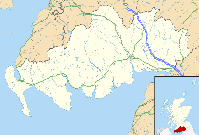
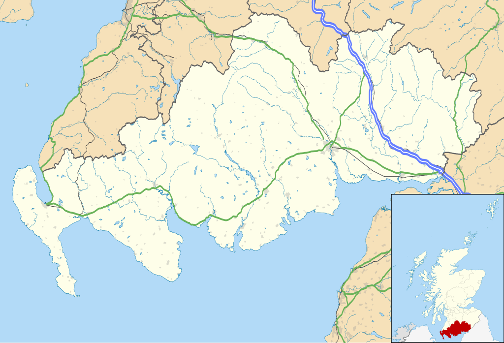
Blank map of Dumfries and Galloway, UK with the following information shown:
Equirectangular map projection on WGS 84 datum, with N/S stretched 170% Geographic limits:
|
| Data | |
| Origem |
|
| Autor | Nilfanion, created using Ordnance Survey data |
| Permissão (Reutilizar este ficheiro) |
A utilização deste ficheiro é regulada nos termos da licença Creative Commons - Atribuição-CompartilhaIgual 3.0 Não Adaptada. Atribuição: Contains Ordnance Survey data © Crown copyright and database right
|
| Outras versões | File:Dumfries and Galloway UK blank map.svg - Blank map |
Histórico do ficheiro
Clique uma data e hora para ver o ficheiro tal como ele se encontrava nessa altura.
| Data e hora | Miniatura | Dimensões | Utilizador | Comentário | |
|---|---|---|---|---|---|
| atual | 20h07min de 26 de setembro de 2010 | | 1 425 × 969 (1,97 MB) | Nilfanion | {{Information |Description=Blank map of Dumfries and Galloway, UK with the following information shown: *Administrative borders *Coastline, lakes and rivers *Roads and railways *Urban areas Equirectangular map projection on WG |
Utilização local do ficheiro
Não há nenhuma página que use este ficheiro.
Utilização global do ficheiro
As seguintes wikis usam este ficheiro:
- ar.wikipedia.org
- bg.wikipedia.org
- ceb.wikipedia.org
- de.wikipedia.org
- en.wikipedia.org
- Dumfries
- Caerlaverock Castle
- Dumfries and Galloway
- Ruthwell
- Ecclefechan
- Wigtown
- Sanquhar
- Stranraer
- Gretna Green
- Kirkcudbright
- Castle Douglas
- Moniaive
- List of monastic houses in Scotland
- Thornhill, Dumfries and Galloway
- Whithorn
- Isle of Whithorn
- Newton Stewart
- Langholm
- Gretna, Dumfries and Galloway
- Lochans, Dumfries and Galloway
- Port William, Dumfries and Galloway
- Mull of Galloway
- Kagyu Samye Ling Monastery and Tibetan Centre
- Dalbeattie
- Portpatrick
- Ae, Dumfries and Galloway
- New Galloway
- Kirkconnel
- Sandhead
- Tongland
- Annan, Dumfries and Galloway
- Penpont
- Drummore
Ver mais utilizações globais deste ficheiro.