
Ficheiro:France radar 2.jpg
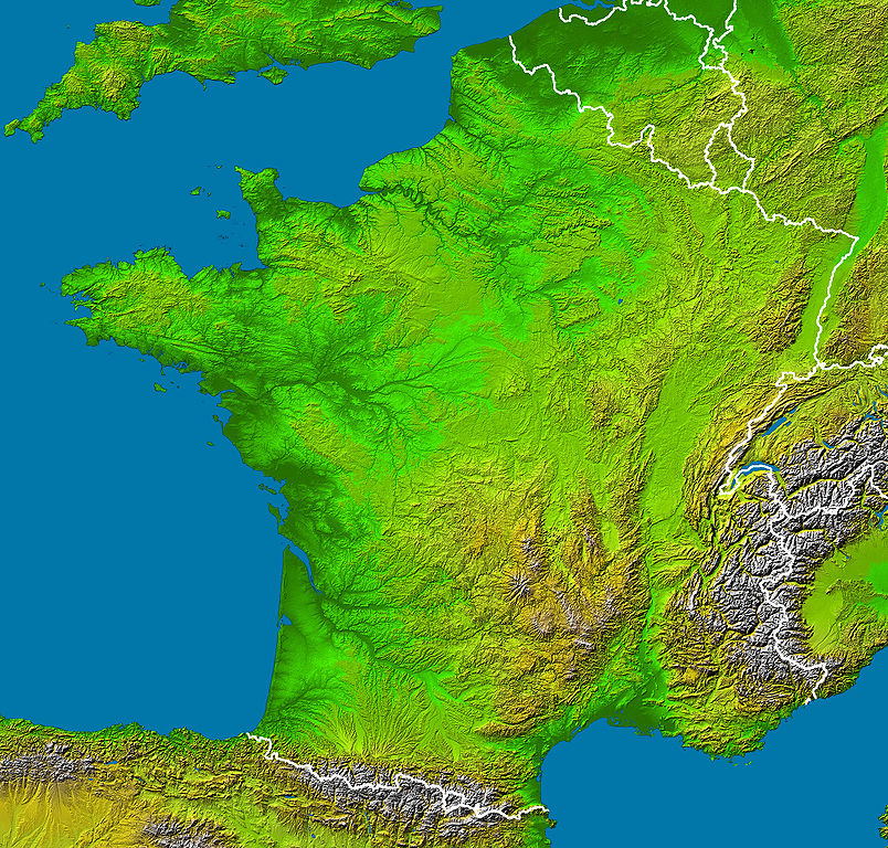
Dimensões desta antevisão: 628 × 600 píxeis. Outras resoluções: 251 × 240 píxeis | 503 × 480 píxeis | 804 × 768 píxeis | 1 072 × 1 024 píxeis | 2 172 × 2 074 píxeis.
Imagem numa resolução maior (2 172 × 2 074 píxeis, tamanho: 3,13 MB, tipo MIME: image/jpeg)
|
|
Esta imagem provém do Wikimedia Commons, um acervo de conteúdo livre da Wikimedia Foundation que pode ser utilizado por outros projetos.
|
Descrição do ficheiro
en :
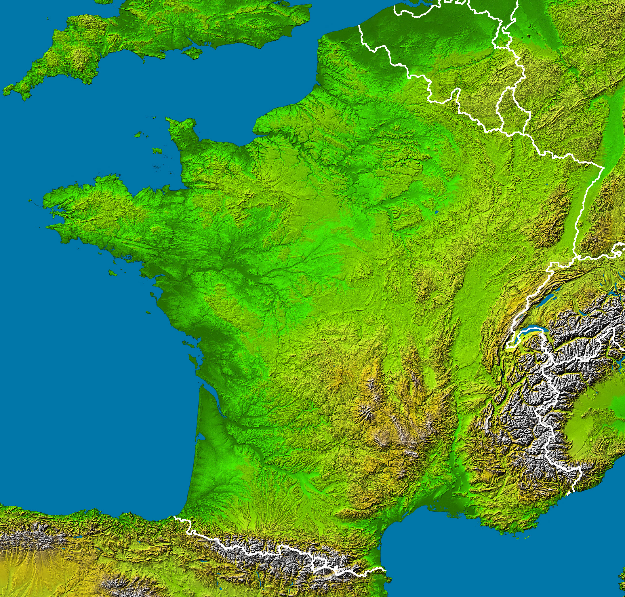
- Subject : France viewed by NASA Shuttle radar-imaging ;
- Source : NASA Earth Observatory (modified) ;
- Original image in Wikipedia : Image:France_radar.jpg ;
- This version : Without shadows along the borders, modified by Sting.
- Location: 42 to 51.5 ° North, 5.5 West to 8 ° East
- Orientation: North toward the top, Mercator projection
- Image Data: shaded and colored SRTM elevation model
- Original Data Resolution: 1 arcsecond (~30 meters)
- Date Acquired: February 2000
- Projection équirectangulaire
- top:51.625°
- bottom:42.00°
- left:-5.75°
- right:8.75°
fr :
- Sujet : Image radar de la France vue depuis la navette spatiale, par la NASA ;
- Source : NASA Earth Observatory (modifiée) ;
- Image originale sur Wikipédia : Image:France_radar.jpg ;
- Cette version : Sans ombres le long des frontières, modifiée par Sting.
Licenciamento
- The purpose of NASA's Earth Observatory is to provide a freely-accessible publication on the Internet where the public can obtain new satellite imagery and scientific information about our home planet. The focus is on Earth's climate and environmental change. In particular, we hope our site is useful to public media and educators. Any and all materials published on the Earth Observatory are freely available for re-publication or re-use, except where copyright is indicated. We ask that NASA's Earth Observatory be given credit for its original materials.
Esta imagem de alta resolução utiliza os dados de topografia digital da Missão Topográfica Radar Shuttle (SRTM)da NASA na JPL-Caltech [1]. É de domínio público.
|
 | |
| This work was previously under Public Domain, or a Free License. It has been digitally enhanced and/or modified. This derivative work has been (or is hereby) released into the public domain by its author, Sting at the French Wikipedia project. This applies worldwide. In some countries this is not legally possible; if so:
|
Histórico do ficheiro
Clique uma data e hora para ver o ficheiro tal como ele se encontrava nessa altura.
| Data e hora | Miniatura | Dimensões | Utilizador | Comentário | |
|---|---|---|---|---|---|
| atual | 04h23min de 23 de fevereiro de 2006 | | 2 172 × 2 074 (3,13 MB) | Sting | '''en :''' * '''Subject :''' France viewed by NASA Shuttle radar-imaging ; * '''Source :''' [http://earthobservatory.nasa.gov/Newsroom/NewImages/images.php3?img_id=15360 NASA Earth Observatory] (modified) ; * '''Original image in Wikipedia :''' [[:Image: |
Utilização local do ficheiro
Não há nenhuma página que use este ficheiro.
Utilização global do ficheiro
As seguintes wikis usam este ficheiro:
- de.wikipedia.org
- de.wikinews.org
- en.wikipedia.org
- eo.wikipedia.org
- es.wikipedia.org
- frp.wikipedia.org
- fr.wikipedia.org
- Région naturelle de France
- Discussion:Région naturelle de France
- Utilisateur:Bludwarf
- Utilisateur:Chauki
- Utilisateur:Wikisoft*/Frageoloc
- Utilisateur:Wikisoft*/Paris
- Utilisateur:Wikisoft*/Cartes
- Utilisateur:Wikisoft*/Tests cartes 1
- Discussion utilisateur:Wikisoft*/Tests cartes 1
- Discussion utilisateur:TomKr/Cartographie
- Utilisateur:Wikisoft*/Géobox-Montagnes-France
- Garrigues (région naturelle)
- is.wikipedia.org
- wuu.wikipedia.org
- zh.wikipedia.org