
Ficheiro:A56 Edenfield Bypass Link Road - geograph.org.uk - 314874.jpg
Sem resolução maior disponível.
A56_Edenfield_Bypass_Link_Road_-_geograph.org.uk_-_314874.jpg (640 × 480 píxeis, tamanho: 83 kB, tipo MIME: image/jpeg)
|
|
Esta imagem provém do Wikimedia Commons, um acervo de conteúdo livre da Wikimedia Foundation que pode ser utilizado por outros projetos.
|
Descrição do ficheiro
| Descrição |
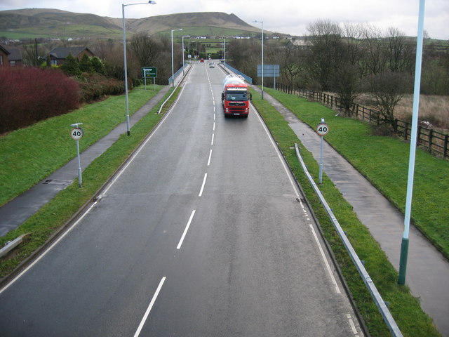
English: A56 Edenfield Bypass Link Road 123523 on the horizon
Edenfield shared in the textile boom of the 18th and 19th centuries, but also has a long farming tradition. This continues today, with open farmland only a few minutes walk from the cottage homes in the village. Most of the mills have been demolished or converted to other uses. Much of the land in the area is in the ownership of the National Trust, the result of a bequest by the Porritt family in memory of Richard Porritt, the first Member of Parliament to be killed in action during the Second World War, and many attractive footpaths traverse this area, including a section of the 45-mile Rossendale Way long-distance footpath. |
| Data | |
| Origem | From geograph.org.uk |
| Autor | Paul Anderson |
| Atribuição (requerido pela licença) | Paul Anderson / A56 Edenfield Bypass Link Road / |
| Localização da câmara | | Esta e outras imagens nas suas localizações em: OpenStreetMap |
|---|
_heading:112.00&language=pt)
| Localização do objecto | | Esta e outras imagens nas suas localizações em: OpenStreetMap |
|---|
_heading:112.00&language=pt)
Licenciamento

|
Esta imagem foi tirada da coleção do projeto Geografia. Ver a página desta fotografia no website Geograph para detalhes de contato do fotógrafo. O direito autoral desta imagem pertence a Paul Anderson e está licenciado para reuso sob a licença Creative Commons Atribuição-Compartilhamento pela mesma Licença.
|
A utilização deste ficheiro é regulada nos termos da licença Creative Commons - Atribuição-CompartilhaIgual 2.0 Genérica.
Atribuição: Paul Anderson
- Pode:
- partilhar – copiar, distribuir e transmitir a obra
- recombinar – criar obras derivadas
- De acordo com as seguintes condições:
- atribuição – Tem de fazer a devida atribuição da autoria, fornecer uma hiperligação para a licença e indicar se foram feitas alterações. Pode fazê-lo de qualquer forma razoável, mas não de forma a sugerir que o licenciador o apoia ou subscreve o seu uso da obra.
- partilha nos termos da mesma licença – Se remisturar, transformar ou ampliar o conteúdo, tem de distribuir as suas contribuições com a mesma licença ou uma licença compatível com a original.
Histórico do ficheiro
Clique uma data e hora para ver o ficheiro tal como ele se encontrava nessa altura.
| Data e hora | Miniatura | Dimensões | Utilizador | Comentário | |
|---|---|---|---|---|---|
| atual | 14h23min de 30 de dezembro de 2010 | | 640 × 480 (83 kB) | GeographBot | == {{int:filedesc}} == {{Information |description={{en|1=A56 Edenfield Bypass Link Road 123523 on the horizon Edenfield shared in the textile boom of the 18th and 19th centuries, but also has a long farming tradition. This continues today, with ope |
Utilização local do ficheiro
A seguinte página usa este ficheiro: