
Ficheiro:Average precipitation in the lower 48 states of the USA.png

Dimensões desta antevisão: 800 × 538 píxeis. Outras resoluções: 320 × 215 píxeis | 640 × 430 píxeis | 1 024 × 689 píxeis | 1 280 × 861 píxeis | 2 785 × 1 873 píxeis.
Imagem numa resolução maior (2 785 × 1 873 píxeis, tamanho: 2,19 MB, tipo MIME: image/png)
|
|
Esta imagem provém do Wikimedia Commons, um acervo de conteúdo livre da Wikimedia Foundation que pode ser utilizado por outros projetos.
|
Descrição do ficheiro
| Descrição |
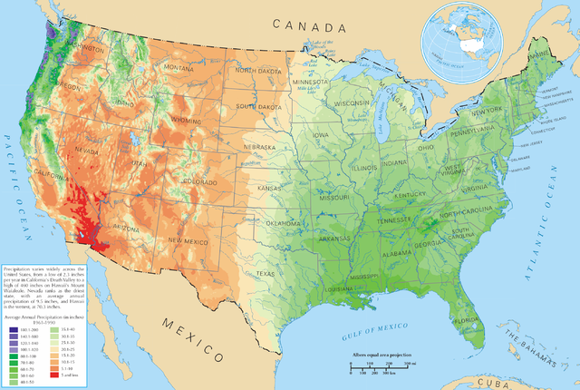
English: Average precipitation in the lower 48 states of the United States of America.
Español: Promedio de la precipitación de los 48 estados contiguos |
| Origem | https://nationalmap.gov/small_scale/printable/climatemap.html |
| Autor | Departamento do Interior dos Estados Unidos |
Licenciamento
This map was obtained from an edition of the National Atlas of the United States. Like almost all works of the U.S. federal government, works from the National Atlas are in the public domain in the United States.
Online access: NationalAtlas.gov | 1970 print edition: Library of Congress, Perry-Castañeda Library
|
Histórico do ficheiro
Clique uma data e hora para ver o ficheiro tal como ele se encontrava nessa altura.
| Data e hora | Miniatura | Dimensões | Utilizador | Comentário | |
|---|---|---|---|---|---|
| atual | 21h08min de 28 de março de 2006 | | 2 785 × 1 873 (2,19 MB) | Tom | ==Description== Average precipitation in the lower 48 states of the United States of America. ==License== {{PD-USGov-Atlas}} |
Utilização local do ficheiro
A seguinte página usa este ficheiro:
Utilização global do ficheiro
As seguintes wikis usam este ficheiro:
- bg.wikipedia.org
- cs.wikipedia.org
- da.wikipedia.org
- de.wikipedia.org
- en.wikipedia.org
- fr.wikipedia.org
- hak.wikipedia.org
- he.wikipedia.org
- ht.wikipedia.org
- hu.wikipedia.org
- hy.wikipedia.org
- id.wikipedia.org
- ja.wikipedia.org
- lg.wikipedia.org
- mg.wikipedia.org
- pcd.wikipedia.org
- pl.wikipedia.org
- pl.wiktionary.org
- Stany Zjednoczone
- Съединени щати
- Съединени американски щати
- Bandaríkin
- Bandaríki Norður-Ameríku
- Amerikan yhdysvallat
- Amerikka
- United States of America
- United States
- U.S.A.
- U.S.
- Stany Zjednoczone Ameryki
- Egyesült Államok
- Amerikai Egyesült Államok
- الولايات المتحدة
- Злучаныя Штаты Амерыкі
- fenua Marite
- ᐊᒥᐊᓕᑲ
- Amerikas förenta stater
- الولايات المتحدة الأمريكية
- Amerika Birləşmiş Ştatları
- Ameriketako Estatu Batuak
- Mokuʻāina-hui-ʻia
Ver mais utilizações globais deste ficheiro.