
Ficheiro:Downtown Appalachia, Virginia.jpg
Imagem numa resolução maior (1 300 × 1 148 píxeis, tamanho: 947 kB, tipo MIME: image/jpeg)
|
|
Esta imagem provém do Wikimedia Commons, um acervo de conteúdo livre da Wikimedia Foundation que pode ser utilizado por outros projetos.
|
| Descrição |
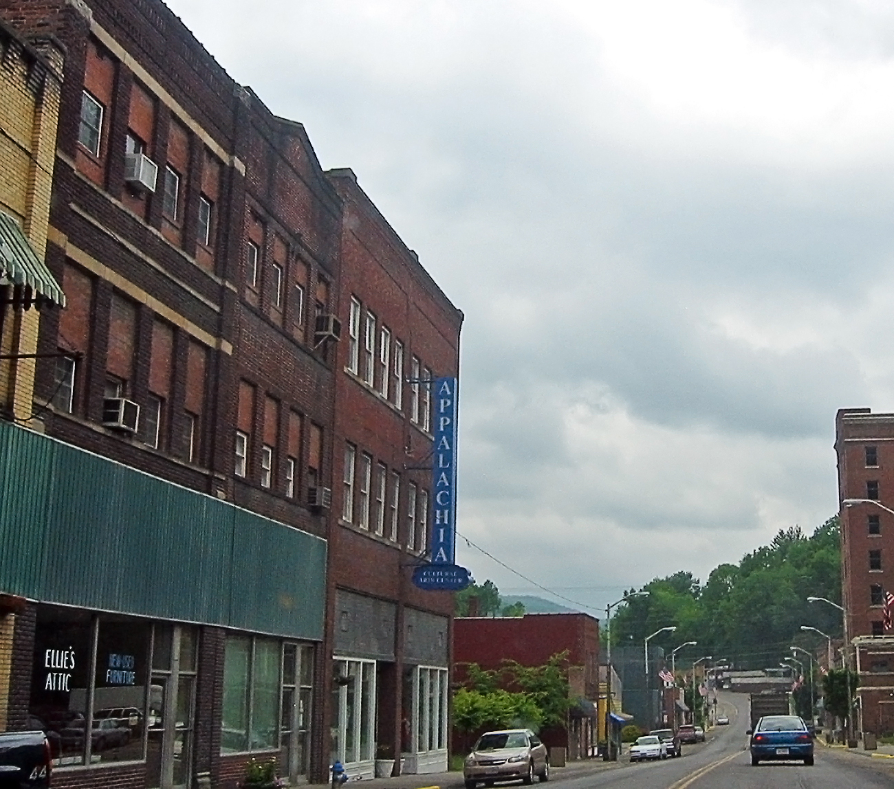
I'm going through photos from last year's trip to Appalachia, to supplement my writing up of the roadtrip tale on my blog. This is a rather poor snapshot, through the car window, of downtown Appalachia, a small town in southwestern Virginia. Since my roadtrip was to Appalachia, the region, I felt compelled to take the route to the Cumberland Gap that went through Appalachia, the town. I prefer small roads to large anyway, so I skipped the highway from Norton to Big Stone Gap, instead taking the smaller road to Appalachia, and then an even smaller road to Pennington Gap by way of Keokee. I'm still strangely pleased that there is a town called Appalachia. The region was very clearly a coal-mining area -- the only such area I saw during my trip to Appalachia (the region). Coal is important in the central and northern part of the Appalachians, and the town of Appalachia was about as far north as I got, so I saw very little coal, save in this part of Virginia. Here's a link to a map of Appalachia on MS Local Live. I hope it works. |
| Data | |
| Origem | Appalachia, the town |
| Autor | pfly from Pugetopolis |
| Localização da câmara | | Esta e outras imagens nas suas localizações em: OpenStreetMap |
|---|
Licenciamento
- Pode:
- partilhar – copiar, distribuir e transmitir a obra
- recombinar – criar obras derivadas
- De acordo com as seguintes condições:
- atribuição – Tem de fazer a devida atribuição da autoria, fornecer uma hiperligação para a licença e indicar se foram feitas alterações. Pode fazê-lo de qualquer forma razoável, mas não de forma a sugerir que o licenciador o apoia ou subscreve o seu uso da obra.
- partilha nos termos da mesma licença – Se remisturar, transformar ou ampliar o conteúdo, tem de distribuir as suas contribuições com a mesma licença ou uma licença compatível com a original.
| Esta imagem, colocada originalmente no Flickr, foi revista em December 15, 2008 pelo administrador ou revisor File Upload Bot (Magnus Manske), que confirmou que ela estava disponível no Flickr naquela data com a licença declarada. |
Histórico do ficheiro
Clique uma data e hora para ver o ficheiro tal como ele se encontrava nessa altura.
| Data e hora | Miniatura | Dimensões | Utilizador | Comentário | |
|---|---|---|---|---|---|
| atual | 02h56min de 15 de dezembro de 2008 | | 1 300 × 1 148 (947 kB) | File Upload Bot (Magnus Manske) | {{Information |Description= I'm going through photos from last year's trip to Appalachia, to supplement my writing up of the roadtrip tale on [http://www.pfly.net/ my blog]. This is a rather poor snapshot, through the car window, of downtown Appalachia, |
Utilização local do ficheiro
A seguinte página usa este ficheiro:
Utilização global do ficheiro
As seguintes wikis usam este ficheiro:
- ar.wikipedia.org
- azb.wikipedia.org
- ceb.wikipedia.org
- ce.wikipedia.org
- cy.wikipedia.org
- es.wikipedia.org
- fa.wikipedia.org
- ht.wikipedia.org
- it.wikipedia.org
- lld.wikipedia.org
- pl.wikipedia.org
- ru.wikipedia.org
- sh.wikipedia.org
- sr.wikipedia.org
- tt.wikipedia.org
- uk.wikipedia.org
- uz.wikipedia.org
- www.wikidata.org
- zh-min-nan.wikipedia.org