
Ficheiro:South Sudan adm location map.svg

Imagem numa resolução maior (ficheiro SVG, de 1 561 × 1 133 píxeis, tamanho: 201 kB)
|
|
Esta imagem provém do Wikimedia Commons, um acervo de conteúdo livre da Wikimedia Foundation que pode ser utilizado por outros projetos.
|
Descrição do ficheiro
| Descrição |
Deutsch: Positionskarte von Südsudan
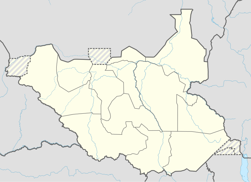
English: Location map of South Sudan
|
||||||||||||
| Data | |||||||||||||
| Origem |
Obra própria, usando:
|
||||||||||||
| Autor | NordNordWest | ||||||||||||
| Outras versões |
|
||||||||||||
_adm_location_map.svg)
_adm_location_map.svg)


|
Este mapa foi criado ou melhorado na Kartenwerkstatt (oficina gráfica) alemã. Você também pode propor mapas para serem melhorados.
|
Licenciamento
Usage of this file with:

explanatory notes: Legally binding is only the full legalcode. For a free usage I recommend to respect the following licence conditions:
1. Provide my name as given above: NordNordWest,
2. a copy of, or the URI for, the applicable license: https://creativecommons.org/licenses/by-sa/3.0/de/legalcode,
3. the title of the work,
4. in the case of an adaptation, a credit identifying the use of the work in the adaptation.
This license and the rights granted hereunder will terminate automatically upon any breach by you of the terms of this license. Any of the above conditions can be waived if you get permission from the copyright holder. If you have questions or wish differing conditions, please contact me through nnwest or my discussion page ![]() t-online.de
t-online.de
- Pode:
- partilhar – copiar, distribuir e transmitir a obra
- recombinar – criar obras derivadas
- De acordo com as seguintes condições:
- atribuição – Tem de fazer a devida atribuição da autoria, fornecer uma hiperligação para a licença e indicar se foram feitas alterações. Pode fazê-lo de qualquer forma razoável, mas não de forma a sugerir que o licenciador o apoia ou subscreve o seu uso da obra.
- partilha nos termos da mesma licença – Se remisturar, transformar ou ampliar o conteúdo, tem de distribuir as suas contribuições com a mesma licença ou uma licença compatível com a original.

Histórico do ficheiro
Clique uma data e hora para ver o ficheiro tal como ele se encontrava nessa altura.
| Data e hora | Miniatura | Dimensões | Utilizador | Comentário | |
|---|---|---|---|---|---|
| atual | 18h25min de 23 de abril de 2020 | | 1 561 × 1 133 (201 kB) | Leviavery | Added Pibor and Ruweng Administrative Areas |
| 16h16min de 25 de fevereiro de 2020 |  | 1 561 × 1 133 (199 kB) | Myrabert01 | Reverted to version as of 13:47, 25 February 2020 (UTC) South Sudan revert back to 10 States. https://www.aljazeera.com/news/2020/02/6-years-war-peace-finally-south-sudan-200223114919537.html | |
| 14h39min de 25 de fevereiro de 2020 |  | 1 561 × 1 133 (213 kB) | NordNordWest | Reverted to version as of 14:39, 13 August 2016 (UTC); no reason for this revert | |
| 13h47min de 25 de fevereiro de 2020 |  | 1 561 × 1 133 (199 kB) | Myrabert01 | Reverted to version as of 18:18, 12 November 2014 (UTC). South Sudan revert back to 10 States. | |
| 14h39min de 13 de agosto de 2016 |  | 1 561 × 1 133 (213 kB) | NordNordWest | corr | |
| 12h31min de 12 de agosto de 2016 |  | 1 561 × 1 133 (214 kB) | NordNordWest | upd, new states | |
| 18h18min de 12 de novembro de 2014 |  | 1 561 × 1 133 (199 kB) | NordNordWest | == {{int:filedesc}} == {{Information |Description= {{de|1=Positionskarte von Südsudan}} {{en|1=Location map of South Sudan}} {{Location map series N |stretching=101 |top=12.7 |bottom=3.2 |left=23.15 |right=36.4 }} |Source={{Own using}} * United States... |
Utilização local do ficheiro
As seguintes 6 páginas usam este ficheiro:
Utilização global do ficheiro
As seguintes wikis usam este ficheiro:
- ab.wikipedia.org
- af.wikipedia.org
- an.wikipedia.org
- av.wikipedia.org
- azb.wikipedia.org
- az.wikipedia.org
- be.wikipedia.org
- bg.wikipedia.org
- bn.wikipedia.org
- bs.wikipedia.org
- ceb.wikipedia.org
Ver mais utilizações globais deste ficheiro.