
Ficheiro:New South Wales locator-MJC.png
Sem resolução maior disponível.
New_South_Wales_locator-MJC.png (563 × 476 píxeis, tamanho: 12 kB, tipo MIME: image/png)
|
|
Esta imagem provém do Wikimedia Commons, um acervo de conteúdo livre da Wikimedia Foundation que pode ser utilizado por outros projetos.
|

|
Esta imagem de locator map (ou todas as imagens neste artigo ou categoria) deveriam ser recriadas usando gráficos vectoriais, como ficheiros SVG. Isto tem várias vantagens; veja as Commons:Media for cleanup|imagens para rever para mais informações. Se já criou um ficheiro SVG desta imagem, por favor, carregue-o. Depois do novo ficheiro SVG ter sido carregado, substitua aqui esta predefinição pela predefinição {{vector version available|nome da nova imagem.svg}}.
|
Descrição do ficheiro
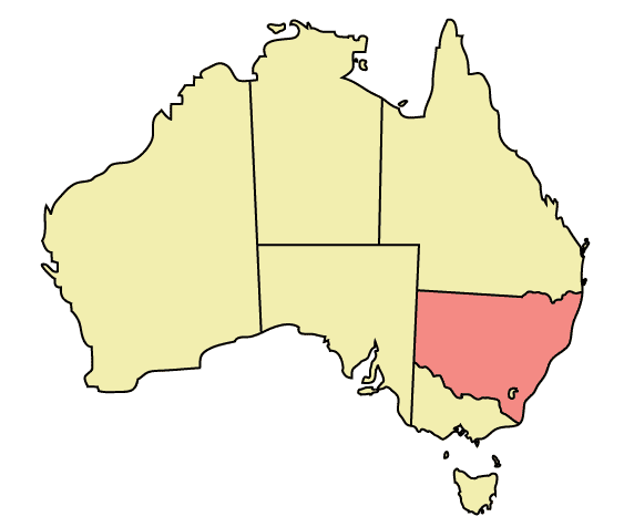
Map of Australia highlighting New South Wales
Made in Adobe Illustrator by Martynam and released under the GFDL
Licenciamento
| A utilização deste ficheiro é regulada nos termos da licença Creative Commons - Atribuição-CompartilhaIgual 3.0 Não Adaptada. Sujeito a aviso legal (disclaimer). | ||
| ||
| Esta marca de licenciamento foi adicionada a este ficheiro durante a atualização da licença GFDL. |

|
É concedida permissão para copiar, distribuir e/ou modificar este documento nos termos da Licença de Documentação Livre GNU, versão 1.2 ou qualquer versão posterior publicada pela Free Software Foundation; sem Secções Invariantes, sem textos de Capa e sem textos de Contra-Capa. É incluída uma cópia da licença na secção intitulada GNU Free Documentation License. Sujeito a aviso legal (disclaimer). |
Histórico do ficheiro
Clique uma data e hora para ver o ficheiro tal como ele se encontrava nessa altura.
| Data e hora | Miniatura | Dimensões | Utilizador | Comentário | |
|---|---|---|---|---|---|
| atual | 22h48min de 30 de dezembro de 2005 | | 563 × 476 (12 kB) | Snowdog | Map of Australia highlighting New South Wales Made in Adobe Illustrator by Martynam and released under the GFDL Category:Maps of Australia |
Utilização local do ficheiro
Não há nenhuma página que use este ficheiro.
Utilização global do ficheiro
As seguintes wikis usam este ficheiro:
- ar.wikipedia.org
- ckb.wikipedia.org
- cs.wikipedia.org
- cy.wikipedia.org
- de.wikipedia.org
- en.wikipedia.org
- User:99of9
- User:Stixpjr
- User:Nomadtales
- East Richmond railway station, Sydney
- Penshurst railway station, Sydney
- Punchbowl railway station
- Narrandera Airport
- User:SamJohnston
- User:Martyman/My Images/Maps
- Glenreagh Mountain Railway
- User:Grogan deYobbo
- RAAF Base Glenbrook
- Dochra Airfield
- Allandale railway station, New South Wales
- Portal:New South Wales
- Cemetery Station No. 3 railway station
- Cemetery Station No. 2 railway station
- Rookwood railway station, Sydney
- Ballina Byron Gateway Airport
- User:RuthlessOne
- Palm Beach Water Airport
- Broken Hill railway line
- Stroud Road railway station
- Transport Construction Authority
- Lismore Airport
- Broken Hill Airport
- Coonamble Airport
- Griffith Airport
- Lightning Ridge Airport
- Bourke Airport
- Cobar Airport
- Walgett Airport
- Merimbula Airport
- Narrabri Airport
- Parkes Airport
- West Wyalong Airport
- Clyburn railway station
- Delec Platform railway station
- Hope Street Platform railway station
- Enfield South Platform railway station
- Cochrane railway station, Sydney
- Oaklands railway line, New South Wales
- Hay railway line
- Rankins Springs railway line
- Burcher railway line
Ver mais utilizações globais deste ficheiro.